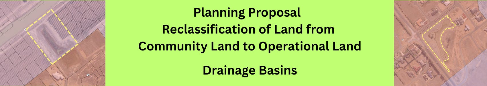
Planning Proposal - Land Conversion - Drainage Basins
Consultation has concluded
The project is now complete.
30 July 2025
Council has received confirmation that the 21 blocks have been reclassified and gazetted by the NSW government which means this project s now complete and the blocks of land are correctly classified as operational land.
Council will progress with land reclassifications
29 January 2025
Council will proceed with reclassifying 21 sites of community land to operational land, excluding Dhungala Estate Drainage Basin (Lot 33 DP 1259774 ) from the process.
This resolution was passed at the January 2025 council meeting.
As a summary: This decision follows the May 2024 endorsement of a Planning Proposal to amend the Murray and Wakool Local Environmental Plans to reclassify 22 parcels of community land (primarily road reserves and drainage basins) as operational land to align with their intended use. Rectification of this historical classification error will allow council to reduce maintenance (costs) on the parcels that have only been used for operational purposes. The spaces will still be maintained, just not as frequently as those that are community parks and play spaces, as dictated by the current ‘community’ classification.
After receiving Gateway Determination in August 2024, the subsequent public hearing process found no valid objections to the proposal.
The full council report can be found at item 9.1.1 of the January Council paper here.
Public Hearing Report now available.
29 November 2024
On 29 November 2024, we received a copy of the Public Hearing Report produced by the independent facilitator of the Public Hearing.
A copy of the report is available in the Public Hearing Packs and final report tab on this page as well as for viewing at Council's Barham (15 Murray Street, Barham) and Moama (52 Perricoota Road, Moama) Customer Service Centres.
The report will feature in the agenda of an early 2025 Council meeting. The contents of the Public Hearing report and any views expressed by the community will form part of the Council report for the final decision.
Public Hearings now complete.
18 November 2024
The two Public Hearings were undertaken on the 14th and 15th of November 2024.
The independent facilitator will now compile a report from the feedback from the forums and written submission received, with the final report being publicly available within 4 days of Council receiving it. The final report is expected to be made available to Council in late November.
Once the report is provided, Council officers will provide a report to Council for a final recommendation.
Registrations to present at the Public Hearings have now closed
- updated 4.30pm 6/11/2024
Public Hearing details announced!
16 OCTOBER 2024
The public consultation period for the planning proposal has now concluded. Thank you to all those who have shared their thoughts with us.
The next step is to hold a Public Hearing to continue the conversation about the reclassification of the community land associated with this planning proposal. We will be holding two Public Hearings
- Thursday 14 November 2024 at 2pm in the Barham Riverside Reception Centre (15 Murray Street, Barham)
- Friday 15 November 2024 at 11am in the Moama Recreation Reserve - Pavilion, (52 Perricoota Road, Moama).
This forum will be chaired by an independent facilitator who is not associated with or employed by Council. This is an opportunity for you to share your feedback specifically on the reclassification of 21 sites in Moama and one site in Barham, with someone external to Council. The facilitator will seek your thoughts at the forum and then complete a report with their findings. Their report will then be submitted to Council, and we will make that report available to the community within 4 days of receiving it.
All information regarding this proposal is available in the Key Documents menu to your right and we have also compiled an 'Public Hearing Pack' to provide some background on the role of a Public Hearing.
Participating in the forum
At this stage, Council do not anticipate registration will be required to attend the Hearing, however this is subject to change.
All attendees will be encouraged to participate, however if you would like to secure a formal opportunity to present at the Hearing, that option is available to you via the registration process outlined below. Registering to speak will also help our facilitator know who is speaking for reporting purposes. To ensure everyone has ample opportunity to share their thoughts, each person will be provided with a few minutes to summarise their key ideas about the reclassification.
To register to present at the Hearing , please use the tool below. Registrations for presenting at the Hearing will be open until 4pm Wednesday 6 November 2024.
We may digitally record the event (for our records only- it will not be publicly released) and we may also be taking some photos on the night.
Consultation update
7 October 2024.
A copy of the Planning Proposal and other accompanying documents were on display for public comment until 4pm on Friday 4th October 2024.
Specifically:
“Notice was given under Section 3.34(2)(c) and Schedule 1 Clause 4 of the Environmental Planning and Assessment Act 1979 for a Planning Proposal (PP-2024-1477) to amend the Murray Local Environmental Plan 2011 and the Wakool Local Environmental Plan 2013. The Proposal seeks the Reclassification of land from Community Land to Operational Land - Drainage Reserves.”
You can still view the planning proposal and accompanying documents via the public notice here, although the feedback period has now closed.
What’s next?
To meet the requirements of the Local Government Act 1993 we will be hosting an independently-chaired public hearing to seek further community feedback on the reclassification. The date and location of the Public Hearing is yet to be set, however we will advertise details of the meeting for at least 21 days before it is held. Pre-registration to present at the hearing will be necessary.
Background
With an expanding list of services and no expansion to our income, we have had to undertake rigorous reviews of our operations and identify areas where we could develop savings over the longer term.
You can find out more about this overarching project on our Sustainable MRC project page.
A major piece of work in this space focused on a review of council-managed land and open spaces. Through this review it was evident that many spaces host a high visual-profile with significant importance and benefit to the community.
But we also found a portion of spaces were incorrectly classified as ‘community land’ instead of ‘operational land’, which includes things like road reserve and drainage basins. This has been identified as a historical issue that we need to rectify.
So, as a first step, we have commenced a process to reclassify 22 parcels of Community Land to Operational Land as the intended use is different to the current classification. This allows us to reduce maintenance (costs) on the parcels that have only been used for operational purposes.
To reclassify the land, Council will need to endorse a planning proposal which will be submitted to the Department of Planning, Housing and Infrastructure (DPHI). We will then go through the planning proposal process to reclassify the land to its correct status for ongoing maintenance and management.
What does this mean for the community?
From a community perspective there will be some cosmetic changes to the sites - which will likely be minimal - but it will allow Council to manage the sites in relation to the intended use. The changes will be in line with the Parks and Open Space Strategy and Service Delivery Plan, which outlines the ongoing monitoring and management requirements for drainage basins and road reserves. Community members will likely notice a reduction in irrigation of the areas, decreased levels of mowing and decreases in the operational times for fountains, if installed.
The land we have identified to be converted to Operational Land is noted on this page (see Blocks to be converted section). These blocks can not be sold or disposed of as they are required to allow proper drainage of surface water from surrounding residential, commercial or community land. The reclassification to Operational Land is to allow Council to manage the land as per its intended use.
Community members will have an opportunity to provide comment on this reclassification process via the upcoming Public Hearing Process.
We will provide an update on the Gateway Determination, planning proposal process and timeline once we received advice from DPHI.
How do I find out which blocks are being converted?
We have identified 22 blocks of land which are currently identified as Community Land and being used as Public Open Spaces which are actually drainage basins and need to be reclassified as Operational Land.
The blocks are noted in the Planning Proposal located on this page.
Will I have a chance to provide feedback on the land status conversion?
As part of the Planning Proposal process, there will be an opportunity to provide feedback. This page will provide information on this process as it becomes available.
The Process of a Planning Proposal tab on this page outlines the process which will be undertaken.
What is the difference between Community Land and Operational Land?
Community land is managed by Council and includes areas like parks and sportsgrounds.
Operational land is public land which facilitates the operations of Council including areas like road reserves, drainage basins, water treatment plants, landfills
How are we only now hearing that blocks need to be reclassified?
Over the past 6 years Council staff have been working hard behind the scenes to identify, review and assess all of Councils assets. Councillors have been brought along the journey by participating in workshops and adopting reports to further develop projects and investigate options for creating a more sustainable Murray River Council. There have been many Council Resolutions which have lead to the need for land to be reclassified to allow it to be managed for its intended use. Refer to the Documents tab on this page for a list of resolutions which have influenced the reclassification process.
Blocks to be converted
Documents
-
 Planning Proposal and accompanying documents for Public Consultation
-
Council Resolution History (198 KB) (pdf)
-
Practice Note Classification and reclassification of public land 5-10-2016 (95.6 KB) (pdf)
-
24061 - Planning Proposal No. 1_Gateway_V2_PP-2024-1477 (1.99 MB) (pdf)
-
agenda_ordinary-meeting-of-council-28-may-2024_PP-2024-1477 (45.9 MB) (pdf)
-
attachments-under-separate-cover_PP-2024-1477 (58 MB) (pdf)
-
draft-minutes-of-ordinary-council-meeting-tuesday-28-mayl-2024_1_PP-2024-1477 (223 KB) (pdf)
-
Gateway determination report_PP-2024-1477 (620 KB) (pdf)
-
Gateway determination_PP-2024-1477 (337 KB) (pdf)
-
Land Application MAp_PP-2024-1477 (1.89 MB) (pdf)
-
MRC - Needs and Demand Report - Clr Workshops - DRAFT_PP-2024-1477 (2.38 MB) (pdf)
-
Wakool Land Application Map_PP-2024-1477 (566 KB) (pdf)
Who's Listening
-

Phone 1300 087 004