Mathoura and Picnic Point Flood Study
Council is completing a Flood Study for Mathoura and Picnic Point, with support from our consultants, Water Technology.
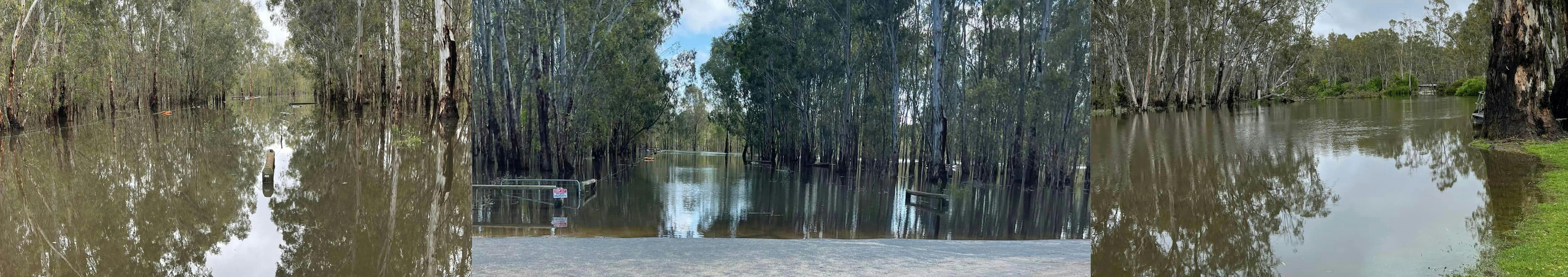
The flood Study will improve understanding of riverine and local stormwater behaviour and its impacts, while improving flood risk management, emergency response and land use planning.
Background
Council has commenced the Mathoura and Picnic Point Flood Study to update and extend flood modelling for both the Murray River and local stormwater drainage systems.
This study builds on previous modelling of the Barmah-Millewa Forest and will cover:
- The floodplain from Tocumwal downstream to the Bama Sandhills on the Murray River
- The Edwards River to Deniliquin
The new models will be calibrated to major historical flood events, including the 2010, 2016 and 2022 Murray River floods, as well as recent localised storm events that have caused drainage problems in the area.
Your input
Murray River Council and Water Technology recently invited residents to share information about recent flood and storm events.
The submission period closed 7 October, 2025.
Thank you to those who made a submission or attended our drop-in session.
This valuable information will help ensure the study accurately reflects local experiences and conditions.
Raffle Giveaway!
Everyone who attended the drop-in session and shared flood intel will go into the draw to win one of two $50 vouchers (Mathoura Bowling Club & Timbercutters). Didn't make it on the day? No problem! All other submissions are entered into the draw too. Winners will be announced and published on this page on 14 October 2025.
Winners:
$50 Timbercutters voucher: Andrew Davidson & Brad Davidson
$50 Bowling Club Voucher: Gary Duggan
Thank you again to all who provided valuable feedback and information.
Who's Listening
-
Project Manager

Phone 1300 087 004 Email jhore@murrayriver.nsw.gov.au